Wave forecasts, buoy observations and the surface pressure chart — three marine products built to fit a satellite link, on the messenger already aboard.


 iPHONE SATELLITE
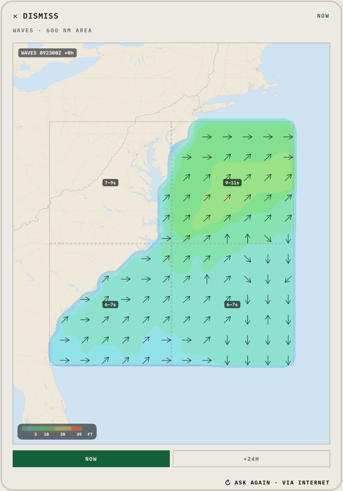
A wave forecast across 600 nm: colored height bands, direction arrows and period labels, so you can see where the swell is building and where it’s easing.
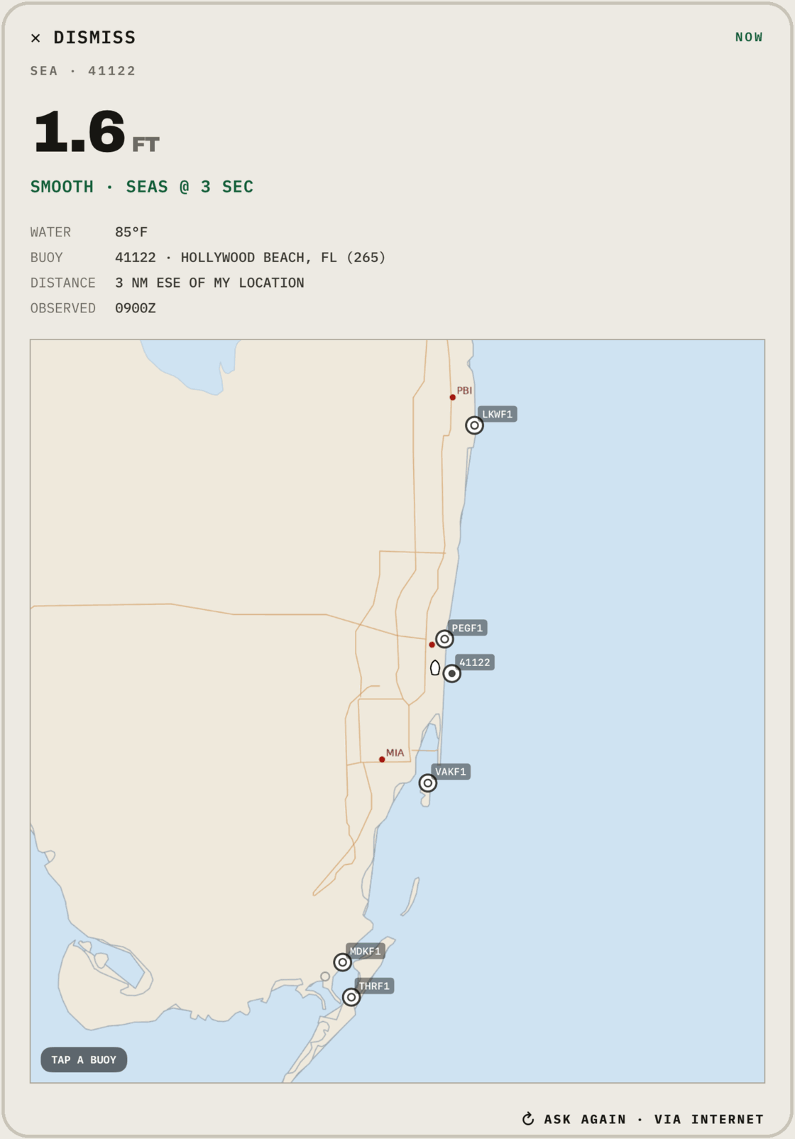
Seas, dominant period and water temperature from the buoy nearest you — or tap any buoy on the map.
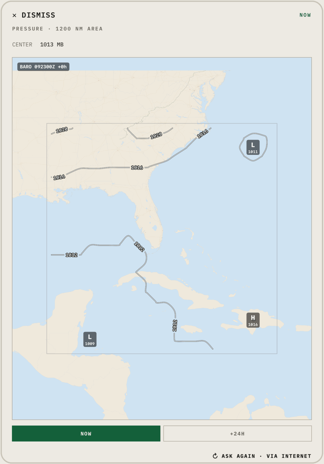
The surface pressure chart over 1200 nm — isobars, highs and lows — for now and 24 hours ahead.
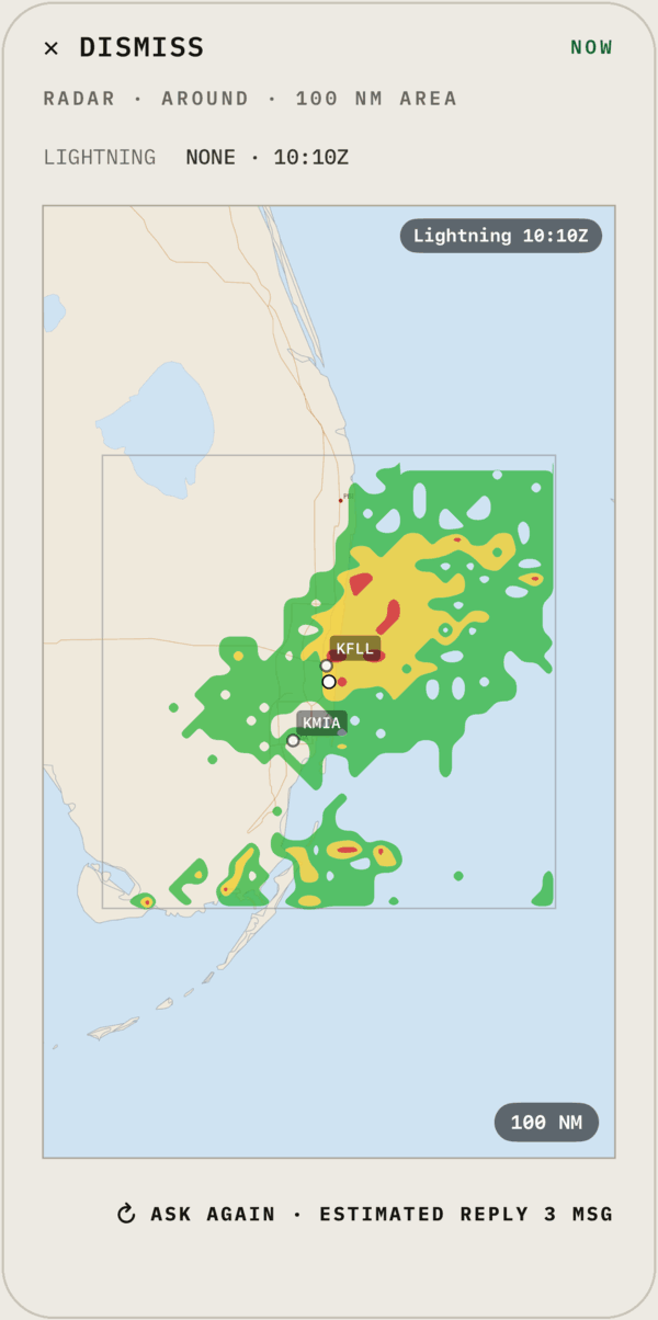
Precipitation cells and lightning strikes around your position, sized to the detail you want to spend.
No satellite messenger can search the web. BlipSat’s AI reads it for you and replies in a message or two. Every reply is saved in the app, maps included.
1 month free in the iOS app, then $14.99/month in the US. Outside the US, the App Store shows the price in your local currency. Cancel any time.